Vidzeme · Valmiera · Visa Latvija
Īpašums no gaisa. Bez aģentūras rēķina.
Drona foto un īsi video nekustamā īpašuma sludinājumiem. Daži spēcīgi kadri, kārtīgi apstrādāti, dažu dienu laikā — sākot no 70 EUR + ceļš.
No 70 EUR + ceļš
Fiksētas paketes
2–5 dienas
Parastais piegādes laiks
15 km
Ceļš iekļauts no Valmieras
Vidzeme
Vietējais, nevis Rīgas cenrādis
Kāpēc tas strādā
Vairāk skaidrības vienā sludinājumā.
3–4
atlasīti kadri pamata paketē
Tikai spēcīgākie aerofoto — apstrādāti un gatavi kā sludinājuma galvenie attēli.
15–30 s
īss video telefonam
Horizontāls klips sludinājumam un vertikāls griezums Reels, TikTok un Stories.
2–5 dienas
parastais piegādes termiņš
Pamata pakete parasti ir gatava 2–4 dienās, pilnais sludinājuma komplekts — 5 dienās.
Konkrēti formāti, saprotams termiņš un fiksēta cena — lai īpašuma sludinājumu varētu publicēt bez liekas materiālu atlases un pārrakstīšanas.
Kāpēc no gaisa
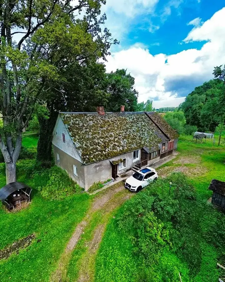
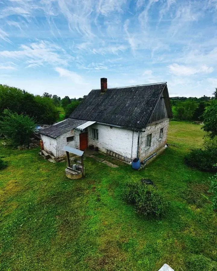
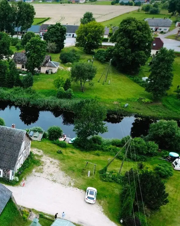
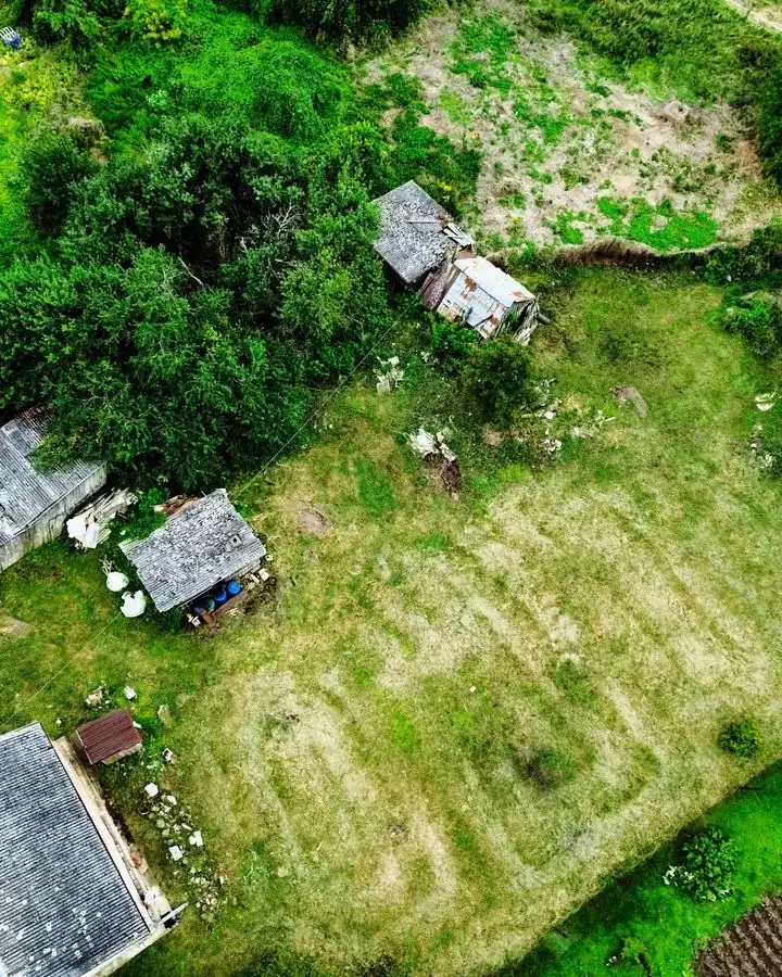
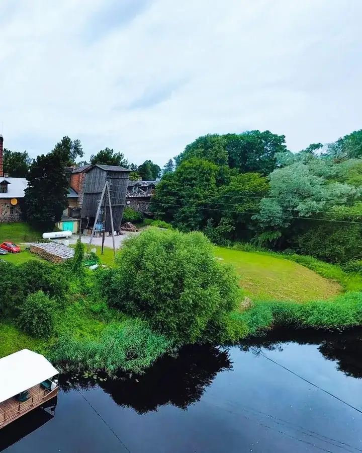
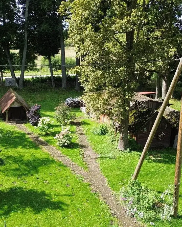
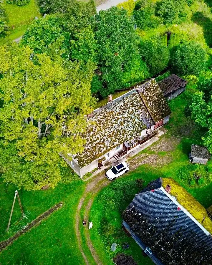
Telefona bildes no pagalma nepasaka to, kas pircējam patiesībā svarīgi: cik liela ir teritorija, kas ir aiz žoga, cik tālu līdz mežam un ūdenim.
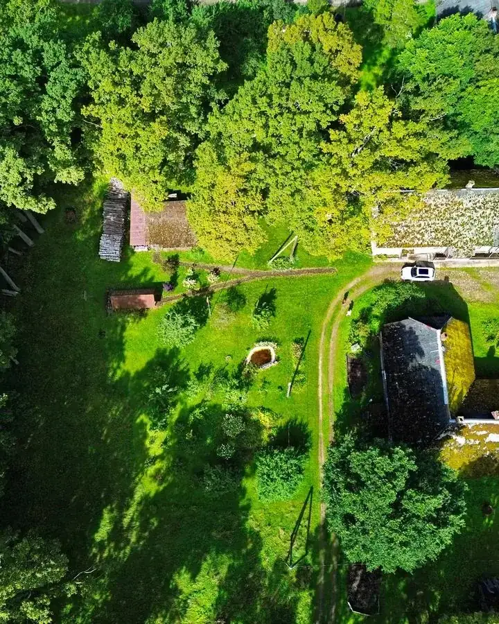
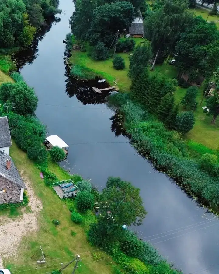
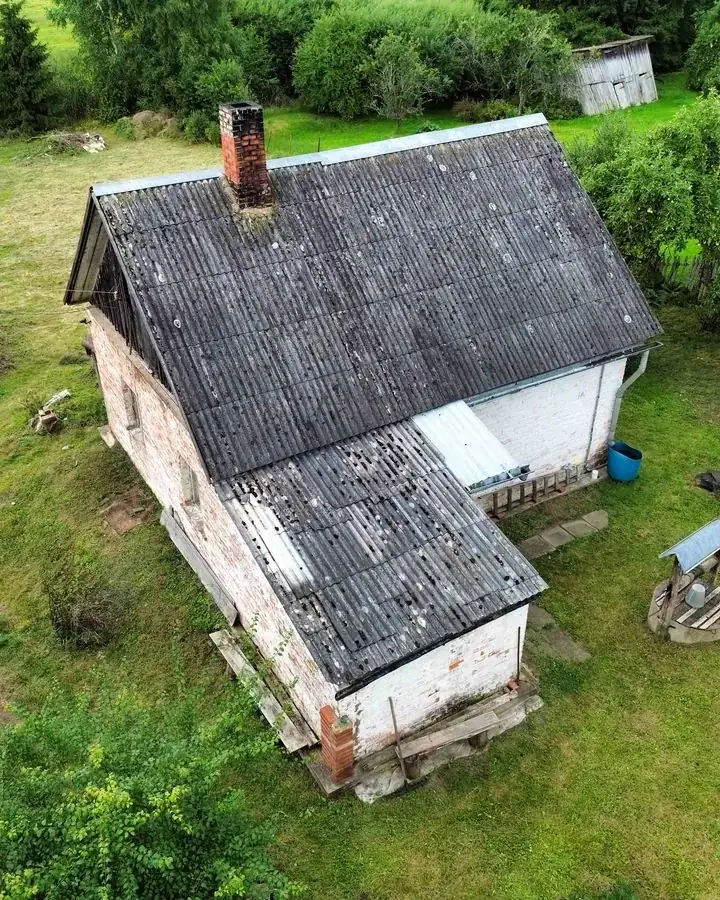
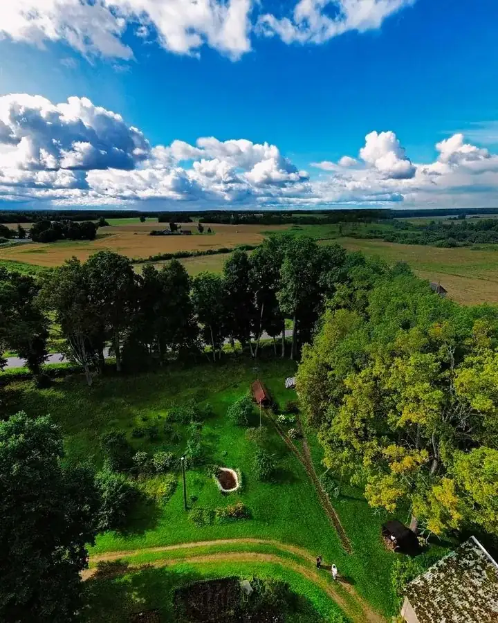
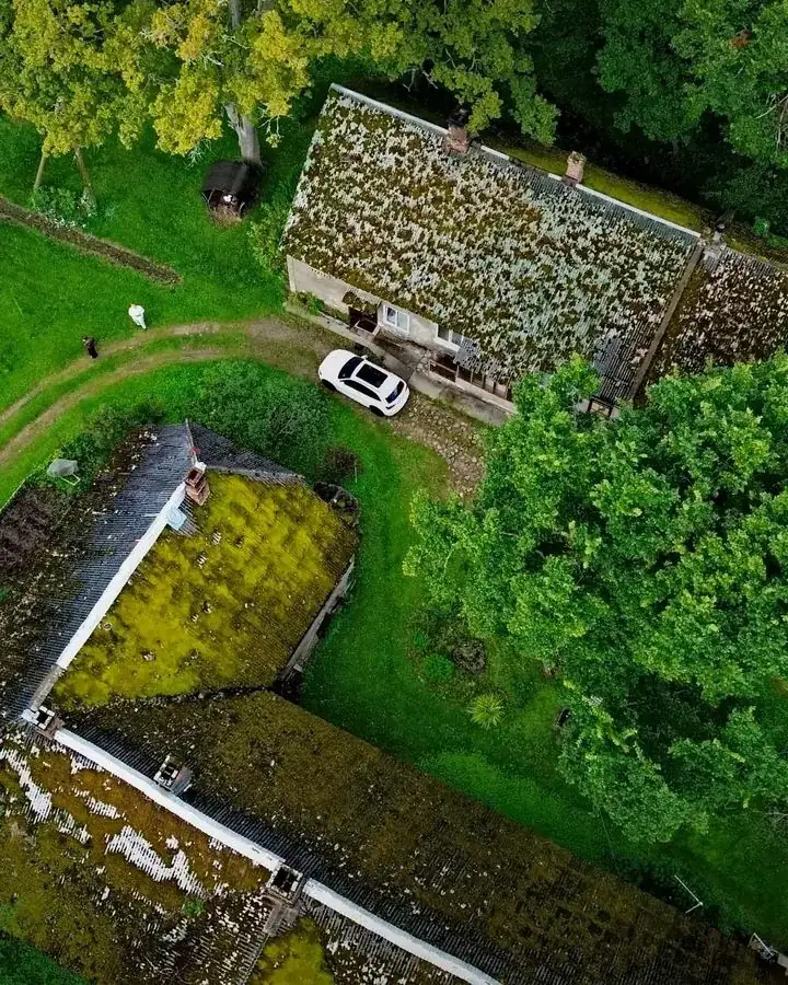
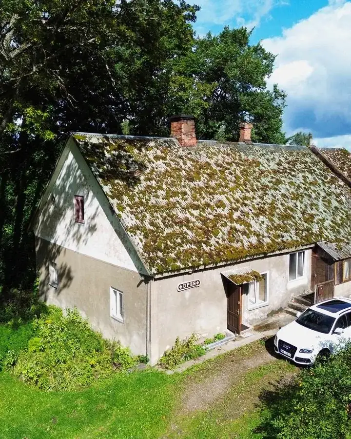
Viens kadrs no 80 metriem atbild uz visiem šiem jautājumiem uzreiz. Sludinājums ar drona bildi izceļas sarakstā, kur visi pārējie fotografējuši no ceļa malas.
Pakalpojumi
Viss, kas vajadzīgs vienam sludinājumam.
01
Aerofoto
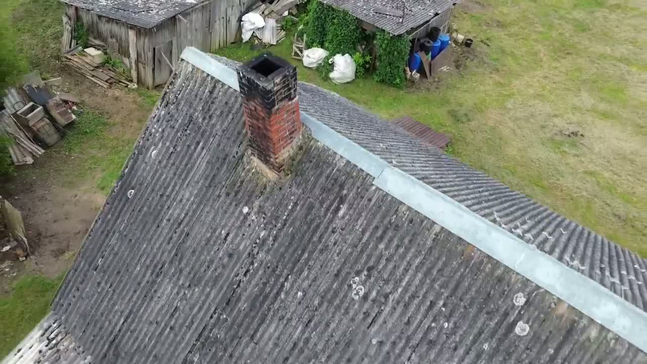
Kadri, ko no zemes uzņemt nav iespējams: īpašums, zemes gabals, robežas un apkārtne vienā bildē. Atlasām labākos, apstrādājam, atdodam gatavus sludinājumam.
02
Īsi video sludinājumam
15–30 sekundes — tieši tik, cik cilvēks noskatās telefonā. Horizontāls klips sludinājumam un vertikāls griezums TikTok, Reels un Stories.
03
Piegāde gatavos formātos
Faili sagatavoti ss.lv, city24 un sociālajiem tīkliem. Saite uz lejupielādi e-pastā, oriģināli glabājas klientu lietotnē.
Attīstībā · Beta
Gaussian splatting 3D tūres
3D īpašuma tūres šobrīd ir eksperimentālā stadijā un netiek pārdotas kā pakete. Meklējam objektus testa uzņemšanai par simbolisku maksu — pretī saņem materiālu, ko neviens cits Vidzemē vēl nepiedāvā.
Darbi
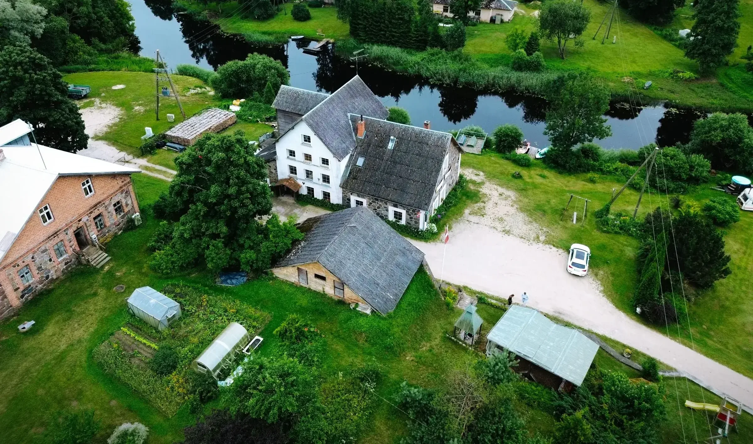
Reāli objekti Vidzemē.
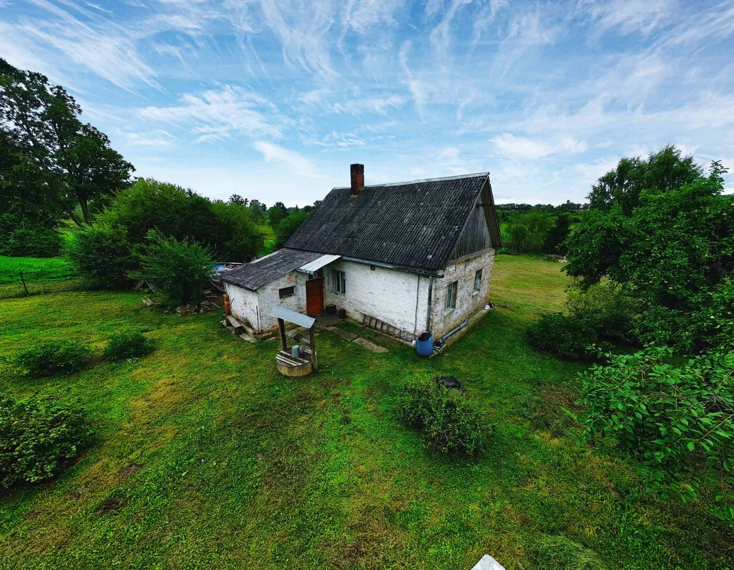
Kā tas notiek
01
Pieteikums
Izvēlies laiku kalendārā un atsūti objekta adresi.
02
Pārbaude
Pirms brauciena pārbaudām gaisa telpu un ierobežojumus objekta vietā.
03
Filmēšana
1–2 stundas objektā. Rezerves datums, ja laikapstākļi nesadarbojas.
04
Apstrāde un piegāde
Atlase, krāsu korekcija, montāža. Faili e-pastā 2–5 dienās.
Cenas
Fiksētas paketes. Bez pārsteigumiem rēķinā.
Pamata
70EUR
Viena sludinājuma pamatkomplekts. Ātri, bez liekā.
- Līdz 1 stundai objektā
- 3–4 atlasīti, apstrādāti aerofoto
- 15–30 s vertikāls klipsAkcija
- Parasti gatavs 2–4 dienās
Sludinājums
Populārākā150EUR
Pilns komplekts sludinājumam un sociālajiem tīkliem.
- Līdz 2 stundām objektā
- 5–8 apstrādāti kadri — no gaisa un no zemes
- 15–30 s montēts klips ar mūziku
- 15–30 s vertikāls griezums TikTok / Reels
- Gatavs 5 dienu laikā
Pēc vienošanās
No 200EUR
Lieli objekti, viesu nami un vairāki objekti vienā dienā.
- Vairāki objekti vai lielas teritorijas
- Materiāls mājaslapai un Booking profilam
- Garāks video vai atsevišķi sezonas uzņēmumi
- Gaussian splatting 3D testsBeta
- Termiņš un cena pēc objekta apskates
Ceļa maksa pēc zonas
- Līdz 15 km no ValmierasIekļauts
- 15–50 km (Vidzeme)+15 EUR
- 50+ km / cita Latvija+30 EUR
- Brauc līdzi — viens auto0 EUR ceļš un −10 līdz −20 EUR
Brauc līdzi · −10–20 EUR
Ja tu jau brauc uz objektu
Aģenti bieži tik un tā brauc objektu rādīt. Paņem mani līdzi — ceļa maksas nav un no paketes cenas atvelkam 10–20 EUR. Viena mašīna, mazāk degvielas, lētāks sludinājums. Tas pats attiecas uz diviem objektiem vienā pusē vienā dienā.
Piemērs: “Pamata” pakete objektam 30 km no Valmieras = 70 EUR + 15 EUR ceļš = 85 EUR autoratlīdzības summa. Piemērojamos nodokļus nosaka autora un izmaksātāja statuss, tāpēc tos pirms apstiprināšanas precizējam pēc konkrētā darījuma formas. Ja brauc man līdzi — 70 EUR vietā 55 EUR un ceļa maksas nav.
Norādītās cenas ir autoratlīdzības summa bez nodokļiem. Konkrēto nodokļu piemērošanu nosaka klienta statuss un darījuma forma; izmaksātājs ir atbildīgs par pienākumu izpildi. Objekta bildes drīksti lietot sludinājumā un sociālajos tīklos bez papildu licences maksas.
Zenifly nav PVN maksātājs. Darbi tiek nodoti ar autora mantisko tiesību licenci (autoratlīdzības līgumu), un norādītās cenas ir autoratlīdzības summa pirms piemērojamiem nodokļiem. Nodokļu piemērošana ir atkarīga no autora un izmaksātāja statusa; to precizējam konkrētā pasūtījuma apstiprinājumā.
Kam tas domāts
Nekustamo īpašumu aģentūrām
Viens vizuālais standarts visiem objektiem un fiksēta cena par sludinājumu. Divi objekti vienā dienā tajā pašā pusē — otrajam ceļa maksa 0 EUR.
Privātiem pārdevējiem
Pārdod pats? Ar drona kadriem sludinājums izceļas starp telefona bildēm un piesaista skatījumus jau pirmajā dienā.
Viesu namiem un lauku sētām
Materiāls mājaslapai, Booking profilam un sociālajiem tīkliem — apkārtne, daba un objekts vienā komplektā.
Aģentūrām
Vajag vienādu standartu vairākiem objektiem?
Vienojamies par atkārtojamu paketi, prioritāriem laikiem un ērtu piegādi katram jaunam sludinājumam.
Kas notiek, ja ir slikti laikapstākļi?
Filmēšanu pārceļam uz tuvāko piemēroto dienu bez papildu maksas. Rezerves datumu saskaņojam jau rezervācijas apstiprinājumā.
Vai lidošanai vajag atļaujas?
Lidojam saskaņā ar ES un Latvijas noteikumiem atklātajā kategorijā. Gaisa telpu objekta vietā pārbaudām mēs — vairāk par to sadaļā Praktiskā info.
Cik ilgi jārēķinās ar filmēšanu objektā?
Pamata paketei — līdz 1 stundai, “Sludinājums” paketei — līdz 2 stundām. Īpašnieka klātbūtne nav obligāta, ja ir piekļuve teritorijai.
Kāpēc tikai 3–4 bildes pamata paketē?
Sludinājumā strādā daži spēcīgi kadri, nevis divdesmit līdzīgi. Atlasām labākos un apstrādājam tos kārtīgi. Vajag vairāk — “Sludinājums” pakete vai papildu kadri pēc vienošanās.
Kāpēc video ir tikai 15–30 sekundes?
Tik ilgi cilvēks skatās sludinājuma video telefonā. Garāks klips izklausās iespaidīgi, bet reti tiek noskatīts līdz galam.
Kā tiek rēķināta ceļa maksa?
Līdz 15 km no Valmieras ceļš ir iekļauts. Tālāk — fiksēta piemaksa pēc zonas. Ja tu jau brauc uz objektu un vari paņemt līdzi, ceļa maksas nav un no paketes atvelkam 10–20 EUR.
Vai piedāvājat 3D tūres?
Gaussian splatting 3D šobrīd ir izstrādes stadijā un nav pārdodama pakete. Meklējam objektus testa uzņemšanai — ja interesē, raksti.
Rezervācija
Izvēlies laiku vai nosūti objekta adresi.
Izvēlies sev ērtu laiku kalendārā vai uzraksti mums tieši. Pēc adreses saņemšanas pārbaudīsim gaisa telpu, apstiprināsim ceļa maksu un sagatavosim filmēšanu.
Brīva rinda
Nepatīk kalendāri? Droši zvani vai raksti — atbildu tajā pašā dienā.
Ātrākais variants
Atsūti objekta adresi.
Atbildēšu ar pieejamību, ceļa maksu un ieteikumu, kura pakete objektam būs jēgpilna.
01
Piekrišana nosacījumiem
Apstiprini, ka darbs tiek nodots ar autora mantisko tiesību licenci un ka norādītā cena ir autoratlīdzība bez nodokļiem.
02
Laiks kalendārā
Izvēlies brīvu logu, pievieno objekta adresi. Pārbaudu gaisa telpu un apstiprinu ceļa maksu.
03
Norēķini un nodokļi
Pēc materiāla piegādes sagatavoju autoratlīdzības aprēķinu. Nodokļus no summas ietur un valstij samaksā izmaksātājs — Zenifly to nedara.
Svarīgi par norēķiniem
Nodokļus maksā klients, nevis Zenifly
Cena, par ko vienojamies, ir autoratlīdzības summa bez nodokļiem. Klients (izmaksātājs) aprēķina, ietur un pārskaita valstij visus piemērojamos nodokļus, bet man izmaksā atlikušo summu ar bankas pārskaitījumu 7 dienu laikā pēc materiāla piegādes. Zenifly nav PVN maksātājs un nodokļus valstij nemaksā.
Zenifly nav PVN maksātājs. Darbi tiek nodoti ar autora mantisko tiesību licenci (autoratlīdzības līgumu), un norādītās cenas ir autoratlīdzības summa pirms piemērojamiem nodokļiem. Nodokļu piemērošana ir atkarīga no autora un izmaksātāja statusa; to precizējam konkrētā pasūtījuma apstiprinājumā. Lasīt pilnos sadarbības noteikumus →
Kalendārs atveras pēc piekrišanas atzīmēšanas. Ja vēlies vispirms parunāt — +371 20390117 vai hello@zenifly.studio.